Quarantine Island Kamau Taurua and Goat Island/Rakiriri are located in the middle of the long-extinct Dunedin volcano. The Dunedin volcano was active between 16 and 10 million years ago and at this time the highest point of the volcano was above Quarantine Island. Once eruptions ended, two rivers eroded the volcano, one flowing to the east would become the harbour mouth and one flowing to the west through what is now South Dunedin.
These rivers followed the path of a recently discovered fault that runs the length of the harbour. The islands now mark the approximate halfway point up Otago Harbour and have been called the Halfway islands (see map).
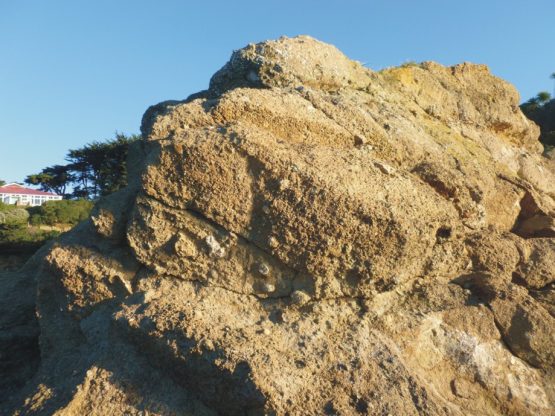
Most of the island is made of scoria which has been erupted by the Dunedin Volcano.
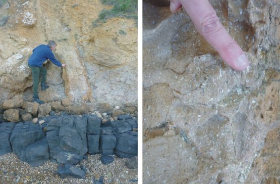
Left: Two magma intrusions (dykes), the dark dyke cuts the lighter coloured dyke and is therefore younger. Right: Enlargement of the vertical light dyke showing white feldspar crystals. These feldspars crystalised as the magma cooled and have been aligned by magma flow.
These dykes are either stronger or weaker than the scoria that they intrude. As waves erode the island these differences form headlands and guts. Dunedin Volcano Fact Sheet from GNS.
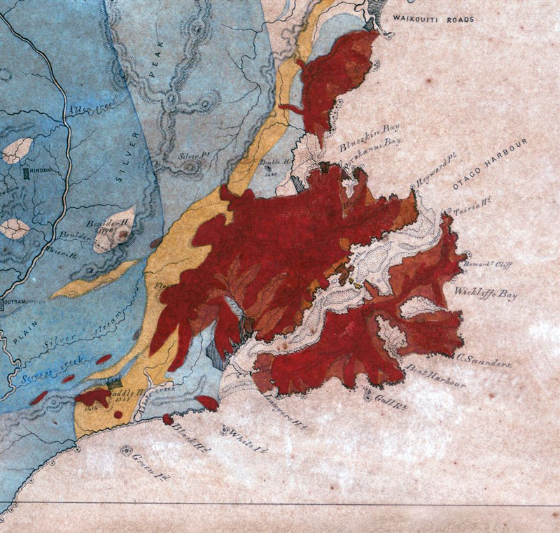
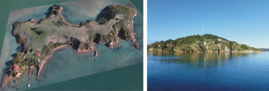
The Dunedin Volcano (red) with Quarantine Island in the middle.
More Information:
Herewaka (Harbour cone) visible from QI/KT https://hereweka.org.nz/natural-featuresDunedin Volcano and fact sheet https://en.wikipedia.org/wiki/Dunedin_Volcano